Gen Z Asks: How Did Gen X Get Around Without GPS?
By Joe Belli | October 03, 2025 | #nostalgia, #GenX, #GenZ, #lifestyle, #navigation
Imagine a life without GPS. No longer could you just whip out your smartphone and get directions in seconds. What would you do? How would you get home?
I came across a discussion on Reddit that really struck a chord with me. Gen Z was asking Gen X: “How did you get around without GPS?” It's a great question.
When you grow up familiar with a certain technology, it's sometimes hard to imagine that the people you have known for most of your life not having access to that same technology. For example, I can't imagine my parents not having a television, they, on the other hand, gathered around the radio for some of their favorite radio shows.
Reflecting on life before digital maps has made me appreciative of today's technology even more. Drafting this article has been both eye-opening and nostalgic. I hope it offers younger readers a time when you simply had to use whatever was available. You really didn't have much of a choice. This is one of those times where you won't hear me say, “It was better in my day.” Because, truthfully, it's SO much better now.
Today, GPS (Global Positioning System) is embedded in every smartphone. It doesn't just give us directions. It also tracks our real-time locations, suggests alternate routes when there is bumper-to-bumper traffic blocking us ahead, and even finds local gas stations, and other businesses near you wherever in the world you happen to be. GPS is indispensable whether you're driving across the country or getting on public transport in a new city.
But back then, we got around using whatever resources that we had - whether it was paper maps, road atlases, verbal directions from someone who knows the surrounding area, etc. But let's take a trip together and see how Gen X navigated the world.
You know, if we're going to do this, then we should do it properly. We might as well start at the very beginning.
The Birth Of the Automobile in America
Before cars, we had our horse and buggies - the original horsepower, if you will. Travel was limited. Back then, you traveled within your hometown, or even to the next town over. But travel forced most people to stay local. Sometimes roads and infrastructure weren’t developed enough for the horse and buggy to make it through.
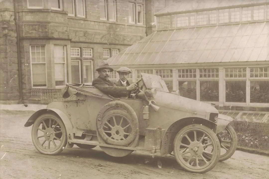
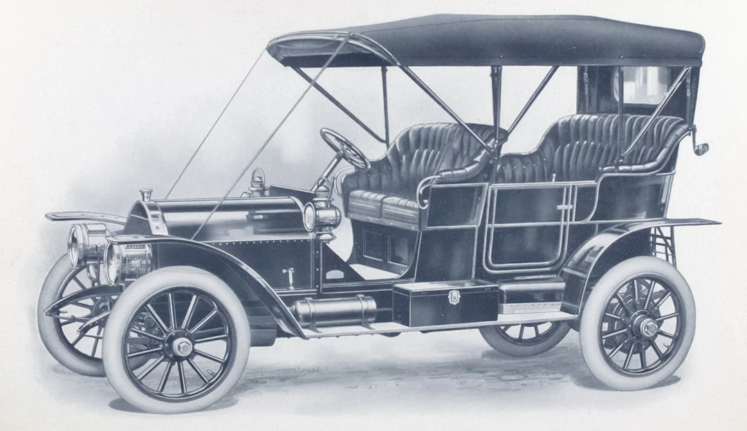
But cars started appearing in the early 1900s. The idea of everyone owning a car was revolutionary. But then Ford came out with (or should I say “dropped”) the Model T in 1908. And that changed everything. The Model T was affordable, durable, and versatile.
It was the hot product of the early 1900s. Everybody wanted one. And why not? The Model T was priced so people could afford one, and it was excellent value for money. Considering that not a lot of the roads back then were paved. They were still dirt and mud. But the Model T rose to the challenge. You can see film clips of the Model T going over all kinds of terrain, just bouncing along like a happy little puppy.
Not only were the roads not paved, but there weren't too many gas stations either. Because of the hot demand for the Model T, gas stations and other infrastructure started being built. Even the first versions of a highway system were being built to move people and all kinds of products over the road to anywhere in the country. All thanks to the popularity of the Ford Model T.
The Interstate Highway System
When America was thick in the middle of World War II, General Dwight Eisenhower was traveling throughout Germany when he came across the Autobahn. Germany's infamous highway system and how it shined and snaked over the German landscape.
Remembering those times before the war when it took him months to travel across America with all the mud and rough terrain.
He wanted an Autobahn for America. And he made it happen, and it turned out to be one of the biggest public works projects ever. It eventually created the Eisenhower Interstate System. The construction took a little more than 20 years to complete, and while we didn't get the speeds that you're allowed to drive on the actual Autobahn, we did get that highway that snaked throughout the American landscape.
You may have to deal with the Interstate System every day to get to work. It may be a source of consternation to you every day at rush hour. But it's interesting when you begin to study it more closely. It's planned so well that you could navigate to the general area of your destination just from the Interstate Highway System.
Folowing The Numbering System
- When you are on an even-numbered highway, like I-10, I-20, or I-80, you're traveling from East to West.
- When you are on an odd-numbered highway, like I-5, I-75, or I-95, you're traveling from North to South.
- The lower numbered highways are in the South and West.
- The higher numbered highways are in the North and East.
Follow Auxillary Routes
- 3-digit Interstate Numbers, like I-405, or I-285, are spurs or loops around cities.
- If the first number is even, like I-285, it usually means that it's a loop around a city.
- If the number is odd, like I-195, it's usually a spur that connects to a city directly.
Watch The Exit Signs Around Cities
- Highway signs list upcoming cities, usually the major cities along the route.
- Exit numbers often correspond to mile markers, so you can estimate distance.
Other Signs To Look For
- Signs before the exit labeled “Food,” “Lodging,” “Gas,” will show business off the upcoming exit and how you get to them.
- Mile markets are on little green signs, which tell you how many miles that you have left to go.
See The USA In Your Chevrolet!
One of America's television stars in the late 1940s was Dinah Shore. Dinah Shore was a movie star, and recording artist, a television show host, and beloved with the American public. If there ever was an America's Sweetheart, Dinah would have certainly earned that title.
One of the commercials she did was for Chevy. “See The USA in your Chevrolet.” And boy, did that commercial strike a chord with the American public. Not so much for sales of Chevy cars and trucks. But for its message alone. It put forth the idea that you could take a road trip in your car and see the USA. Something unheard of only a few years prior.
And why shouldn't you be able to see the USA in your family car in 1953? The infrastructure was in place, the roads were paved and in good condition, gas prices were inexpensive, etc. All you had to do was to pack a picnic basket, pack the family in the station wagon, and then set out for your destination. Your trip might be a drive from New York to Florida, or vice versa? Boy, I know I've taken that trip myself countless times, and I didn't even own a Chevrolet!
And now we're going to talk about how we used to get around without GPS. I'm sorry for taking so long to get here, but I think you'll agree, it was worth the journey.
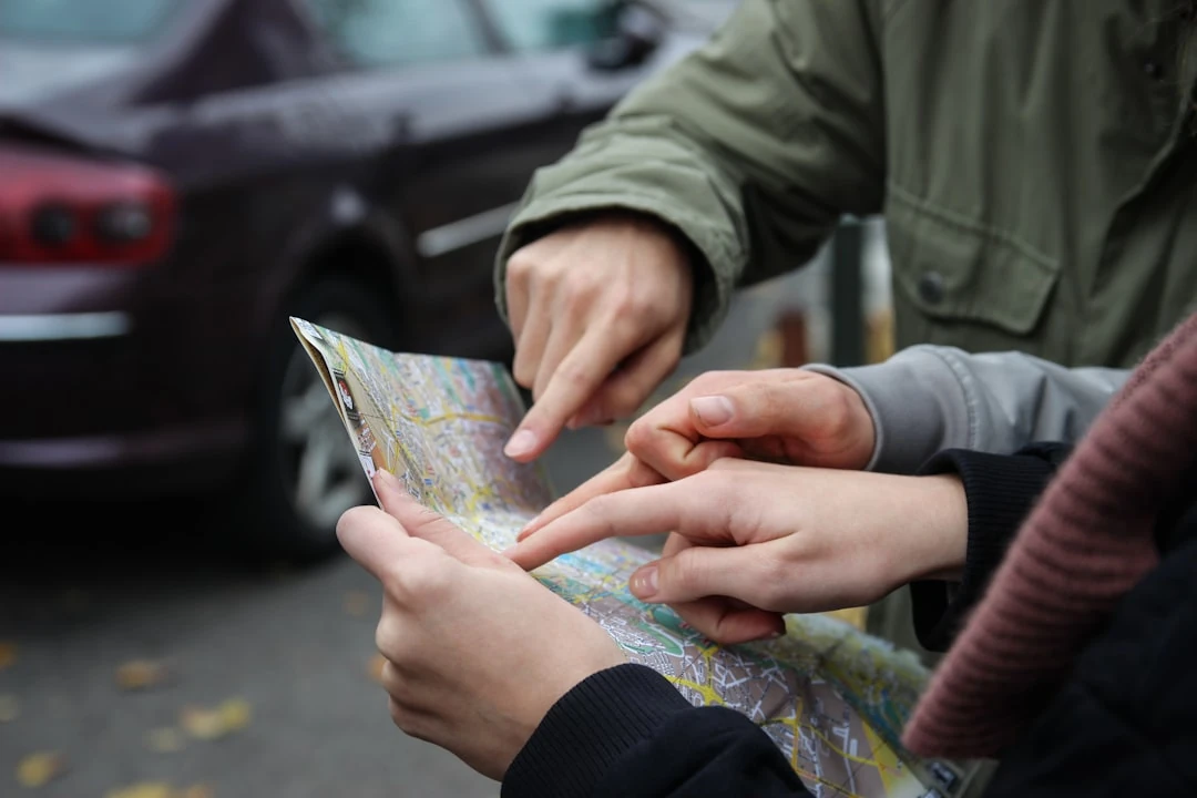
Paper Maps
Well, it's obvious when you think about it. Paper Maps were the most used when trying to plan out a road trip.
Foldable Paper Maps: These are the maps that you’d find in various states shoved in your glove box. You can get these at the local gas stations. Gas stations provided more services to the customer than they do today. Like, pumping the gas, changing the oil, filling the tires with air, etc. And, helping customers get to their destinations by helping them plan out their trips on the paper maps they would buy in the gas stations. These paper maps provided quite a bit of information, but it was almost impossible to fold back into their original state once they were opened. So, using these massive, foldable maps proved difficult.
AAA Triptik(TM): The AAA (American Automobile Association) had a brilliant idea for their maps, called “Triptik”s. What I remember was a TripTik was a collection of maps like a Road Atlas, but the maps in the collection only had to do with your specific road trip. These maps were bound together in a nice comb binding where you could flip through the maps like a steno pad. But sometimes the pages in the Triptik would fold out and divulge even more information. Triptiks still exist today, and you can get them printed out for you in a book, or you could have the directions beamed to your phone.
Road Atlases: An atlas is a collection of incredibly detailed maps for a particular country, or all over the world. I would think it would be better to plan your trip with a road atlas at home first and take the atlas with you. The maps aren't easy to read, and you'll have to concentrate to see the information that you're looking for.
Alternative Methods
Meet Up: Sometimes, it's just easier to meet people at a business, restaurant, or landmark. Whenever my family and I would travel to see family in Connecticut, we would wind up getting lost. Until someone had an idea of stopping off at the local Fire Station. Once we got there, we could call my aunt, and she would come and collect us from the Fire Station and from there, take us to her house. Maybe it is just easier to arrange to meet up somewhere?
The CB Radio Craze of the 1970s: In the 1970s, there was a big “trucker” and CB Radio craze that went on. The same CB Radios that the over-the-road truckers used were being mounted in family vehicles like station wagons and sports cars, etc.
This CB Radio Craze was so incorporated into people's lives that it leaked into our media. Songs like “Convoy” by C. W. McCall, and television shows like “Movin' On", “The Dukes of Hazard,” and “BJ and the Bear.” And I'm sure you've seen Burt Reynolds and Sally Field in “Smokey and the Bandit.”
Whether you got on the radio and joined in on the chatter, or you sat back and listened, you'd learn about road conditions, police speed traps, and other dangers up ahead.
Web Mapping
In the earlier days of the internet, there were two websites that I can remember where you could go online and print out a map for yourself at home. You could do this either at mapquest.com, or at Yahoo! had Yahoo! Maps.
Mapquest still exists today, but Yahoo! Maps has been discontinued. The interesting thing about Mapquest was that they would include helpful coupons dispersed throughout your map print outs so you could use them as you traveled. Maybe you got a free night at your hotel, or maybe you got a discounted price on some new luggage.
Satellite Navigation Systems
These systems started to appear and they're still around today: The “Garmin,” “Tom-Tom,” and the “Magellan.” These satellite navigation systems were comprised of a box that you mounted to your dash in your car, much like we mount our smartphones today.
And this is why these systems lost their popularity when they were prevalent. The idea was that you would download an up-to-date map file to your computer, and then transfer it to your device, mount the device in the car and you're good to go. It was a bit tedious, but it worked. The Satellite Navigation Systems were uni-taskers - only able to perform one function where your smartphone does all that and so much more.
Your Challenge
The best way to find out how we navigated around without GPS is to try it out for yourself. Maybe you have a road trip coming here soon? If you do, why not turn off your GPS of choice. But I would still bring your smartphone with you on this trip just in case you need it. But try not to use the GPS while you're on your trip.
Thank you so much for making it to the end of this lengthy article. I hope you enjoyed.